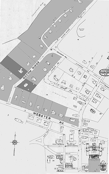
| 80. Map of Webster Avenue and Occom Ridge in 1927 showing houses sites sold by the College in the northwest in relation to the Quadrangle in the southeast. Darker shading indicates, from the west, the lots of the William Jewett Tucker House (1909) by C.A. Rich and the Ridge House (1898-9) by Lamb & Rich (adapted from Sanborn Map Co., 1927). |